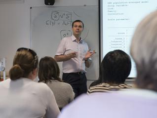
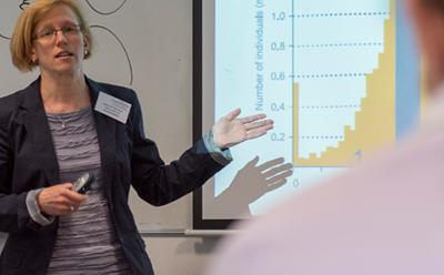
Lecturers:
- Professor Alan Gelfand from the Department of Statistical Science at Duke University, USA and
- Dr Sujit Sahu from S3RI, University of Southampton.
Course 1: Introduction to Bayesian Analysis MCMC
Tuesday June 7th 2011
The first one-day short-course on "Introduction to Bayesian Analysis and MCMC" is aimed at statisticians who are thinking of taking the second course on spatial statistics but would like to go through a preparatory course providing a gentle introduction with a large practical component.
No previous knowledge of Bayesian methods is necessary. However, some familiarity with standard probability distributions (normal, binomial, Poisson, gamma) and standard statistical methods such as multiple regression will be assumed.
Theory lectures on the Bayes theorem, elements of Bayesian inference, choice of prior distributions and introduction to MCMC will be followed by hands-on experience using R and the WinBUGS software. Some of the data analysis examples discussed here will be enhanced by using spatial statistics methods in the second course.
This course can be taken without taking the three-day hierarchical modelling course, although preference will be given to participants opting for both courses.
Course 2: Hierarchical Modelling of Spatial and Temporal Data
Wednesday June 8th - Friday June 10th 2011
The course will provide an overview of current ideas in statistical inference methods appropriate for analysing various types of spatially point referenced data, some of which may also vary temporally.
The course begins with an outline of the three types of spatial data: point-level (geostatistical), areal (lattice) and spatial point process, illustrated with examples from environmental pollution monitoring and epidemiological disease mapping.
Exploratory data analysis tools and traditional geostatistical modelling approaches (variogram fitting, kriging, and so forth) are described for point referenced data, along with similar presentations for areal data models. These start with choropleth maps and other displays and progress towards more formal statistical concepts, such as the conditional, intrinsic, and simultaneous autoregressive (CAR, IAR, and SAR) models so often used in conjunction with spatial disease mapping.
The heart of the course will cover hierarchical modelling for both univariate and multivariate spatial response data, including Bayesian kriging and lattice modelling. More advanced issues will also be covered, such as nonstationarity (mean level depending on location) and anisotropy (spatial correlation depending on direction as well as distance). Bayesian methods will also be discussed for modelling data that are spatially misaligned (say, with one variable measured by post-code and another by census tract), since they are particularly well-suited to sorting out complex interrelationships and constraints.
The course concludes with a brief discussion of spatio-temporal and spatial survival models, both illustrated in the context of cancer control and epidemiology. Computer implementations for the models via the WinBUGS, R, and S+SpatialStats packages will be described throughout. Participants will gain experience of using WinBUGS and R.
Participants are encouraged to buy the book Hierarchical Modeling and Analysis for Spatial Data, co-authored by Professor Gelfand.
This course is likely to be very popular, as when it was previously run in 2009, hence early application is advised.